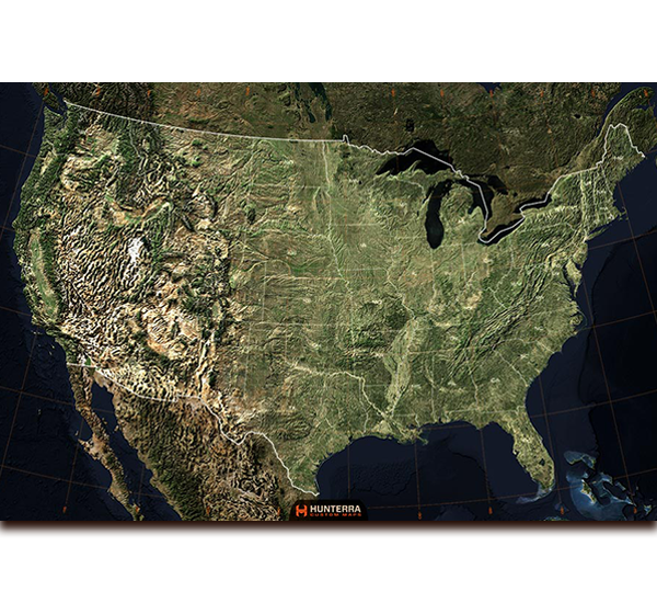
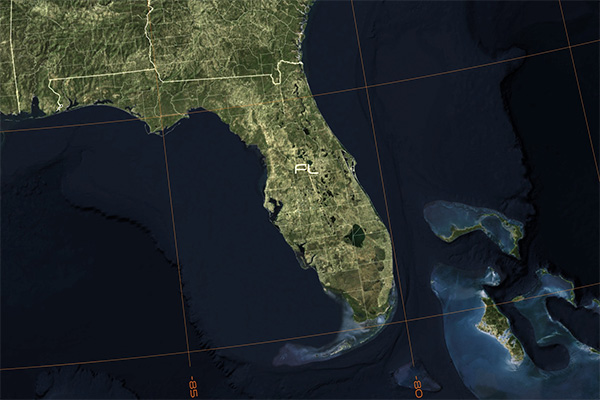
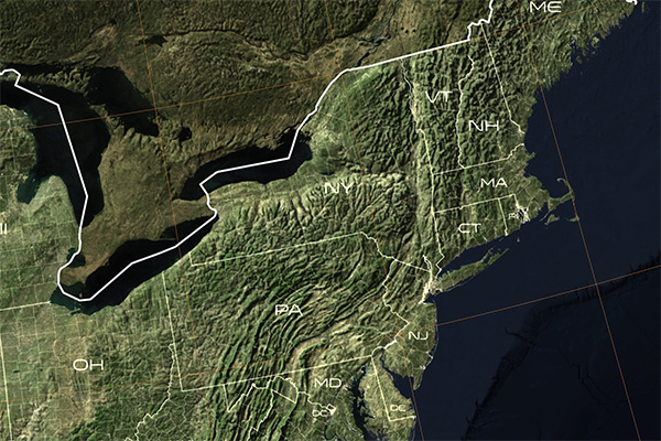
TerraImage of the USA
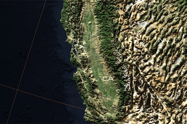
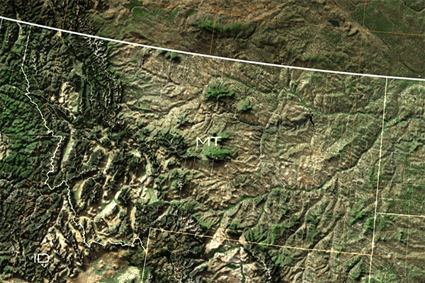
This is a no-nonsense map of our Nation, the United States of America. This map—which includes satellite imagery, 3D terrain modeling, a latitude and longitude grid, state lines, county lines, and state abbreviations—aims to show that this country we live in is united, and not divided.
In today's world, it seems like our country couldn't be any more conflicted on moral, political, and economic opinions. The fact of the matter is that we are all Americans, and we are all fortunate to live in the best country in the world.
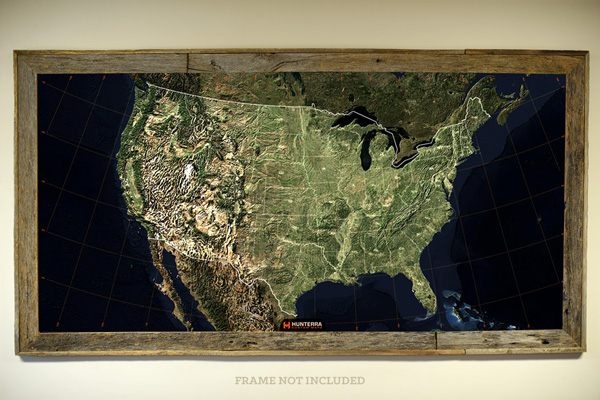
- Printed on a light-adhesive USA-made material for interior wall display
- Great for framing
- Map out your next roadtrip and bucket list adventure
- Great for the classroom, office, or den
- Designed, printed, and packaged in the USA
- Comes in 24 x 16, 36 x 24, 48 x 32, and 60 x 40 sizes